Aerial insights, mapped with precision

Aerial insights
Real results
Professional drone mapping, photogrammetry, and 3D visualization services for construction, real estate, and infrastructure projects. Serving Central Arkansas with certified expertise and a focus on safety.


See your project from above
Drone mapping
Accurate maps for planning and construction. Fast, safe data collection for your site.
Aerial imaging
High resolution aerial images used for marketing, project updates, and data collection.
High-resolution video
High-quality aerial footage for marketing, real estate, and project updates.
Inspections
Detailed inspections for hard to reach or dangerous infrastructure. Fast, safe inspections without putting inspectors at risk.
3D visualizations
Convert sites into interactive 3D models for analysis and presentations.
Photogrammetry
Accurate and reliable data collection for your site.
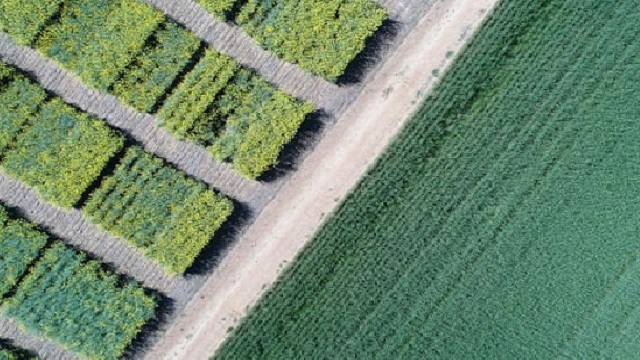
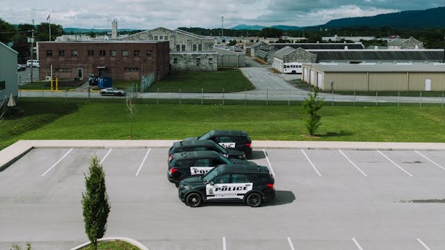
Aerial mapping project gallery
Explore recent drone visuals and maps
![[background image] image of construction site (for a construction company)](https://cdn.prod.website-files.com/6908b40ee68f78155d52ab3e/6908b612e7a1bbb9d55201e5_6123f5c2-a491-4722-87c9-a5a14f56963c.avif)


CMF Drones delivered precise, high-quality aerial maps for our project. The team’s professionalism and attention to detail ensured a smooth process from start to finish. I highly recommend their services for any business needing reliable drone imagery.
Drone services: your questions answered
Get clear info on our drone mapping, imaging, and 3D services.
Let's start your aerial project
Contact us for mapping, video, or 3D services.
Email
info@cmfdrones.comPhone
+1 (501) 288-9694Location
Central Arkansas, USA
